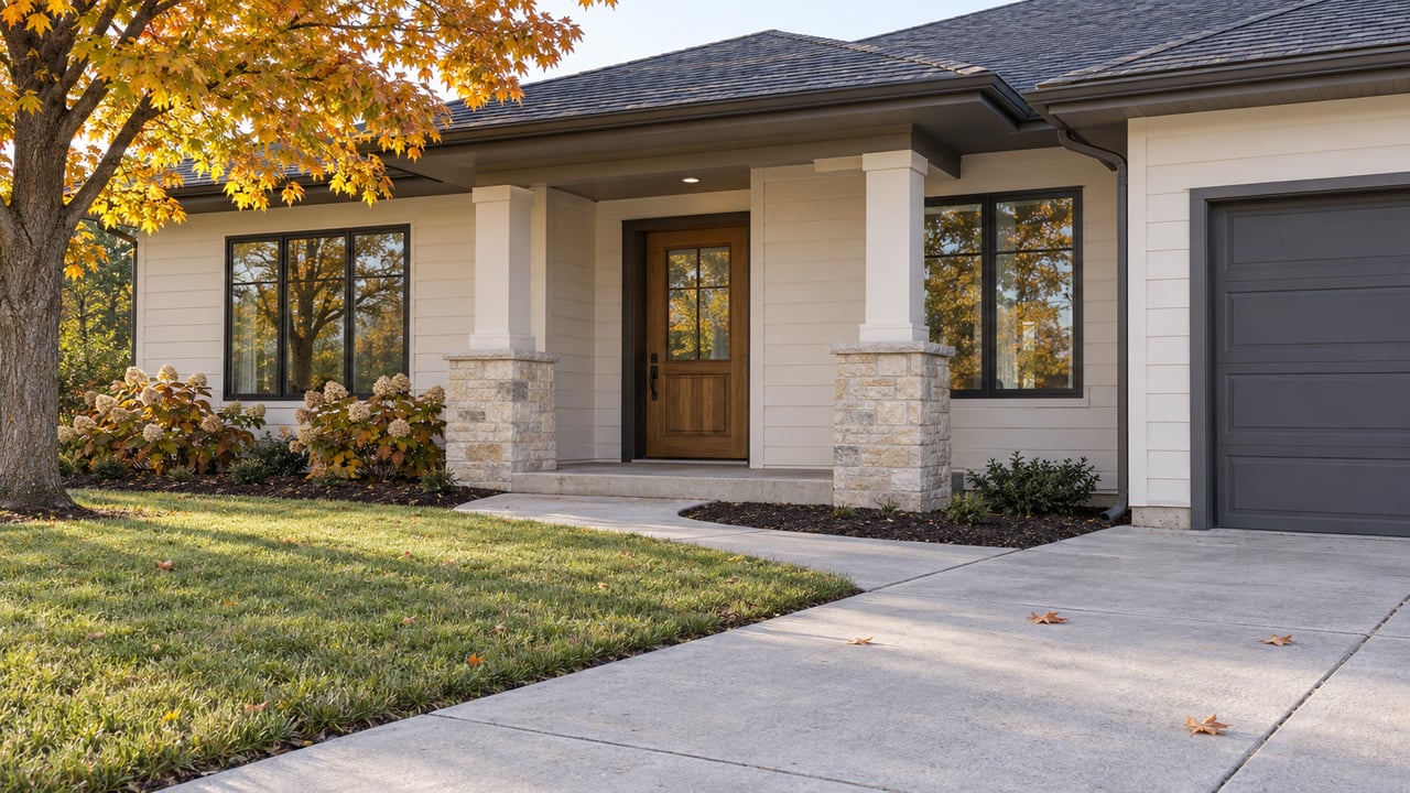
Georgetown Township's Master Plan Keeps the Northwest Corner Farmland. Its Authors Say the Pipes Will Decide.
"The utilities are what is going to drive development in the northwest quadrant." Planning Commission Chairman Josiah Samy said that at the commission's August 19 meeting, according to the meeting minutes. He was explaining why leaving that corner of Georgetown Township marked Agricultural on the future land use map "kicks the can down the road and protects the area."
He also described the other side of the deal. If a developer wants to bring water and sewer to the area, he said, "it will force the township's hand to redraw the maps."
That tension runs through the whole draft master plan, which goes to a public hearing on Wednesday, November 4. The plan uses its firmest language yet to keep the township's largest open area agricultural. The officials who wrote that language also say a five-year planning document can only hold that line so long. Pipes, roads and neighboring townships will help decide what happens after that.
Michigan townships review their master plans every five years. Supervisor Jim Wierenga told the Township Board at its August 10 meeting that the last time Georgetown brought in a planner for the job was 2007. The reviews since then had been limited. This time the township hired the consulting firm Williams & Works for what Wierenga called a "deeper dive," and it gathered public input "to a degree that has not been done in the past."
The future land use map in the plan does not rezone anyone's property. Wierenga said the map "details the future but does not change the current zoning map." A rezoning only starts when the Board initiates one or an owner applies. The Board's edits made that explicit. One revision in its list of proposed changes says the map "is a policy guiding document, does not carry the force of law."
So the plan matters for a different reason. It is the first document a developer reads. Township Clerk Kelly Kuiper argued for exact wording on exactly that basis. "The job of a developer is to go into the Township's documents to figure out exactly what the Township wants," she said. Any gray area "will be used against the Township. It is imperative that we say what we mean."
The Planning Commission's draft already recognized how important farming is in the northwest quadrant. Wierenga called that wording "a little short" and proposed a direct policy statement for the Northwest Corner page:
"It is the intent of the Georgetown Township Master Plan that the northwest quadrant remain predominantly agricultural in character and use, with the preservation of productive farmland, open space, scenic viewsheds, and the long-term viability of farming operations serving as the primary land use objective, while residential, commercial, and urban-density development is directed to designated growth areas elsewhere in the Township."
The revision goes further than that sentence. It replaces a list of "future issues for sub area plan to explore" with preservation priorities. The new list discourages "the fragmentation of agricultural land through incremental residential development" and asks the township to make sure water and sewer planning "does not unintentionally encourage premature urbanization of agricultural areas." The final version also notes that an agricultural parcel is still allowed to build a single-family home.
Wierenga pointed to the township survey as the basis for the change. The two answers that drew the most responses were protecting natural areas and protecting farmland. Trustee John Schwalm connected the language to traffic. He said development in the area would strain utilities and add to the traffic that "goes down Fillmore to Cottonwood," which he called "an incredible challenge right now."
The minutes from both meetings show that the people who back the farmland language also have doubts about it. Board and commission members named four pressures the plan does not control:
Wierenga called the plan "a snapshot in time that lasts five years." Veldink said he could see the area staying preserved for that long, "especially based on the utilities." So the farmland policy is a five-year commitment, and its own supporters said as much.
The northwest policy sends development to "designated growth areas elsewhere." The rest of the edits show where those areas are, and several of them correct specific parcels on the future land use map.
| Place | What the plan or its revisions say |
|---|---|
| Chicago Drive and the Baldwin Street–Cottonwood Drive area | Used as examples in an April Planning Commission discussion of what a future commercial corridor might look like, described as a more defined streetscape with some commercial buildings potentially reaching three stories instead of broad strip-mall corridors |
| South corner of Chicago Drive and 18th Avenue | Two parcels changed from Senior Housing to General Commercial |
| Wallinwood Golf Course | The PUD housing parcels move from Recreational to Neighborhood Residential, and the rest of the course stays Recreational |
| Lowing Woods PUD, east of 36th Avenue and south of Fillmore Street | Parcels already in the PUD change from Agricultural to Suburban Residential |
| 48th Avenue at Baldwin Street and at Bauer Road | Planned roundabouts added to the Roads section |
| Southeast corner of the township | Proposed for the new Rural Estate designation |
Rural Estate is the newest category on the map. It describes low-density housing on larger lots and assumes an overall density of one home per three to five acres. It is meant to support rural character and natural-resource preservation, and it encourages pathways for people. Samy said he favored "changing the southeast corner of the township to Rural Estate." He said the category fits there because of that area's utilities and limitations, and because the township does not move land backward to Agricultural once it has been planned for housing. Commissioners briefly asked whether Rural Estate could also apply in the northwest. They agreed to keep that area Agricultural. Tom Healy explained why: "once it changes from Agricultural, it is open to development."
One deletion drew the only dissenting vote. The Board removed a sentence from the Housing section that encouraged duplexes or triplexes, accessory dwelling units, multi-family homes and assisted living. It added a narrower line in the Suburban Residential section instead. That line says multi-unit housing "will be considered in limited transitional areas" if built as a planned unit development.
According to the August 19 Planning Commission minutes, Samy said the ADU wording had been "a nod to the many responses on the Master Plan survey about affordability and mother-in-law suites," which the current township ordinance does not accommodate. The zoning administrator told commissioners that a variance for an ADU would be unlikely under the high standard for granting one. The more likely route, he said, is for the Planning Commission and Board to agree on ordinance language. Healy suggested the commission could write such an ordinance within about 18 months.
The commission accepted the Board's full package of changes 5 to 1, with Gary Veldink absent. Brown cast the no vote. He said the ADU removal was his only reason. So ADUs are not in the plan, but the topic stays open on the commission's side.
The Board approved the draft for distribution at its August 24 meeting. The township posted the draft, with links to full and low-resolution copies, in an August 25 announcement. The zoning administrator had described a 63-day public comment period. An open house followed on October 6 at the Township Office, where consultants were on hand to take feedback.
The remaining steps:
Township notices sometimes change, so check gtwp.com for the latest before you go. The August 19 and August 10 minutes show where the hard questions sit. Most of the debate was about the northwest quadrant along 48th Avenue, the Chicago Drive corridor and the housing language. Comments on those parts of the plan go straight to the questions officials are still working through.
Want to know how the future land use map lines up with a particular street, lot or block in Georgetown Township? Bialik Real Estate follows these decisions closely and is glad to go through the map with you. This post is general information and not legal advice, so please confirm zoning questions about your own property with the township or a qualified professional.
Working with Bialik Real Estate means more than just buying or selling a home—it means experiencing a higher level of service.